|
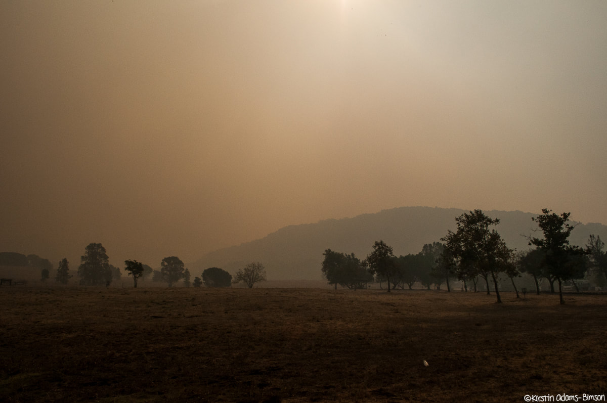
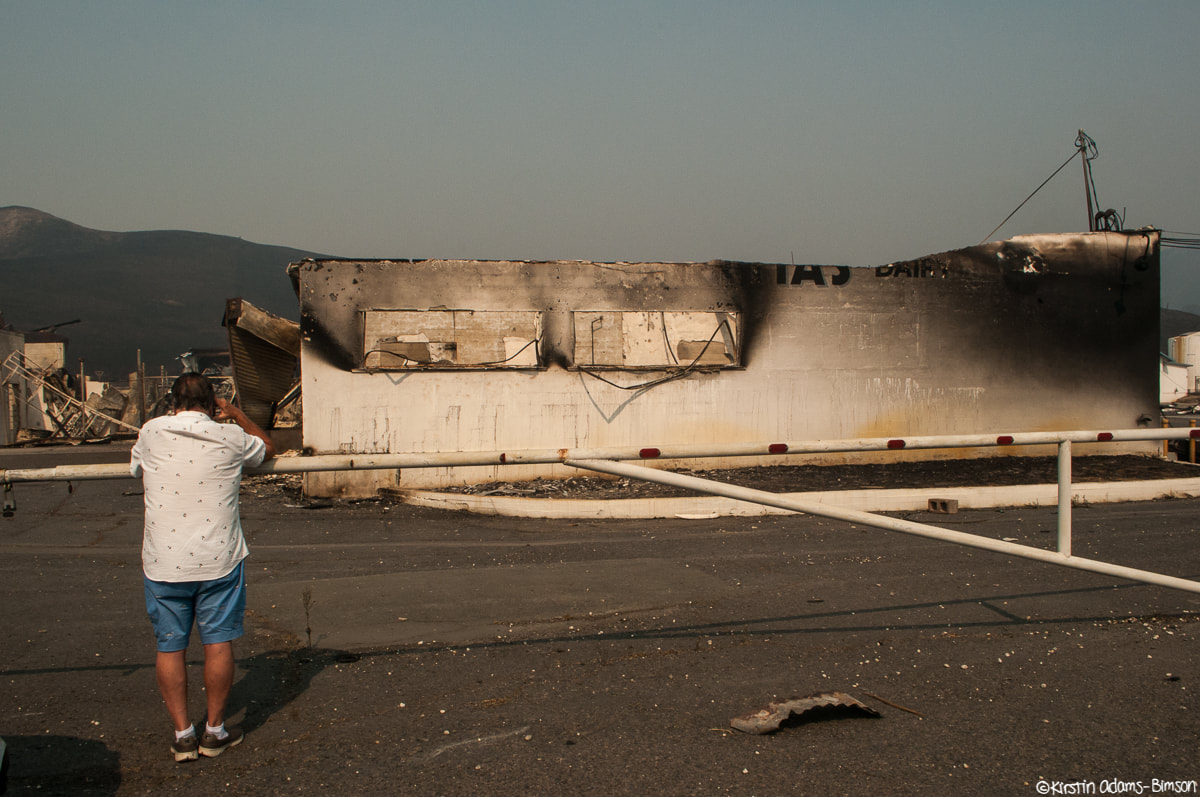
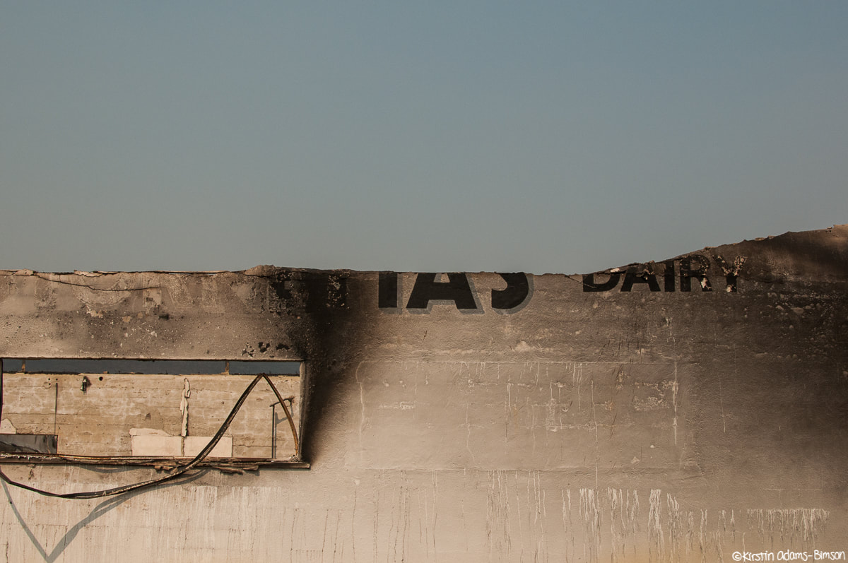
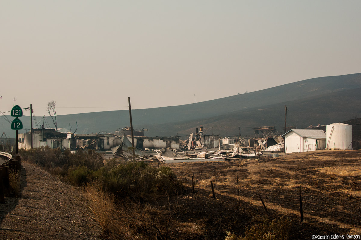
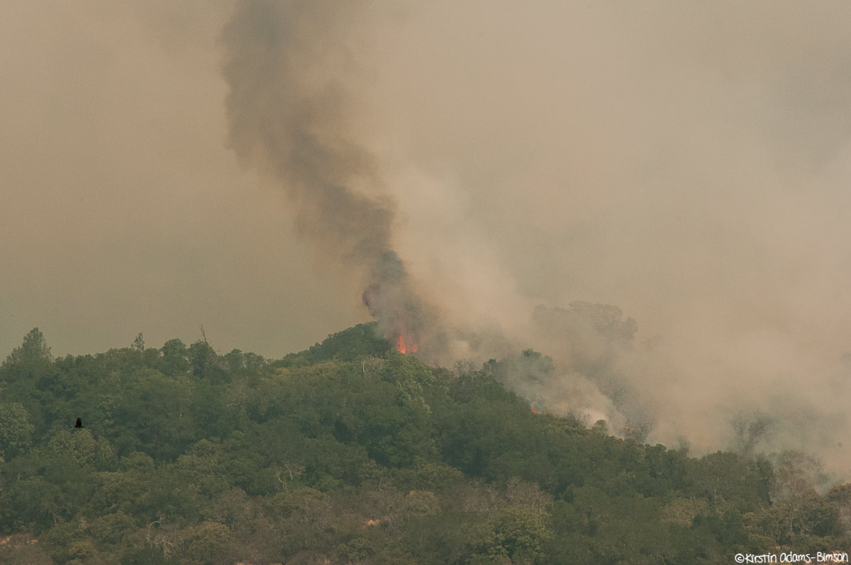
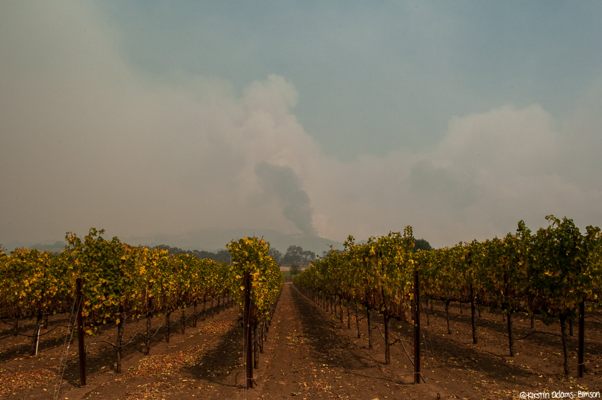
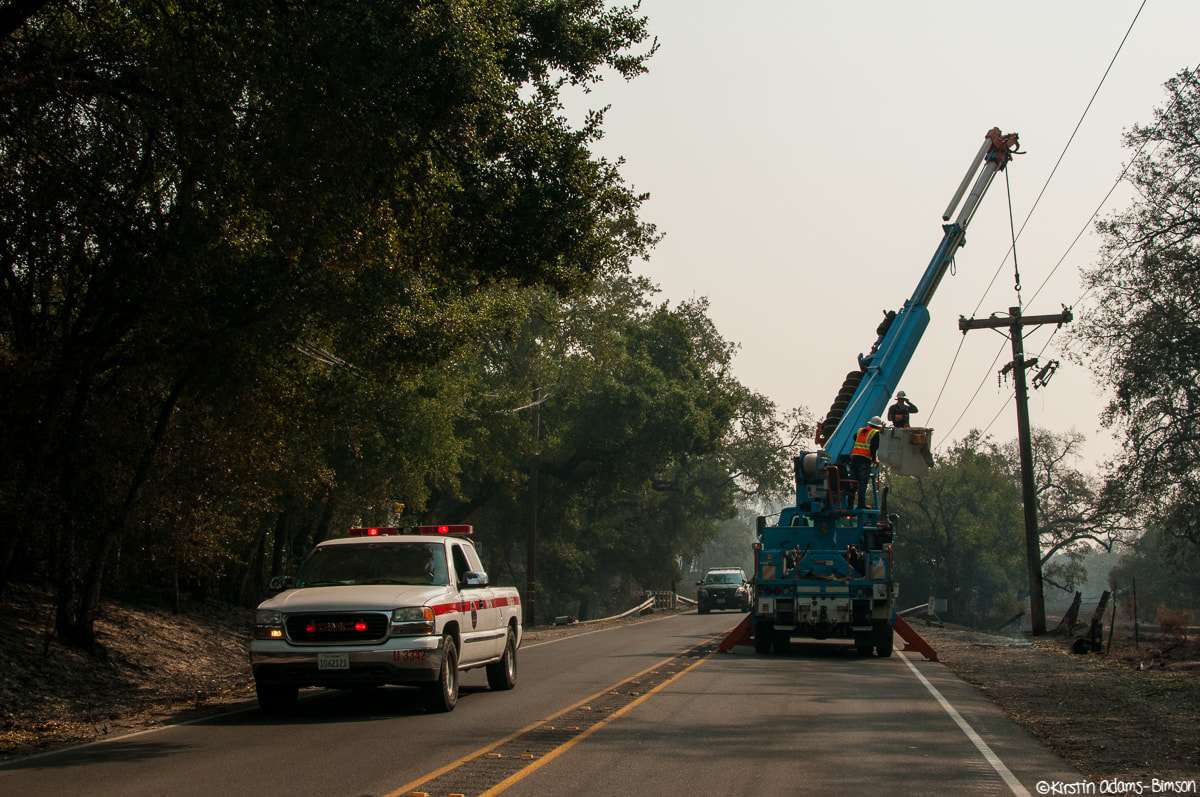
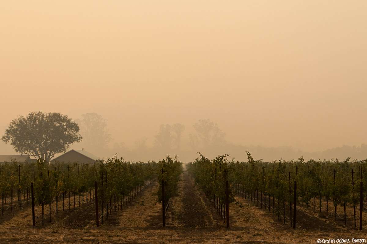
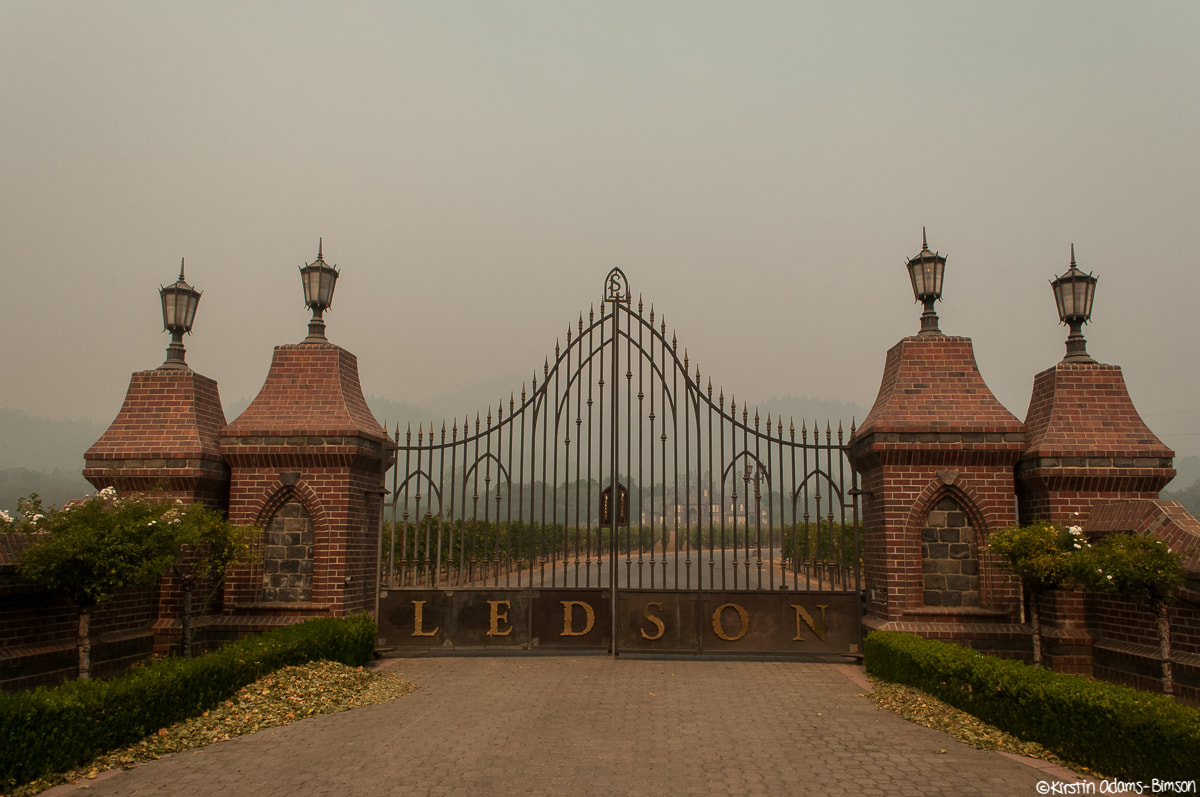
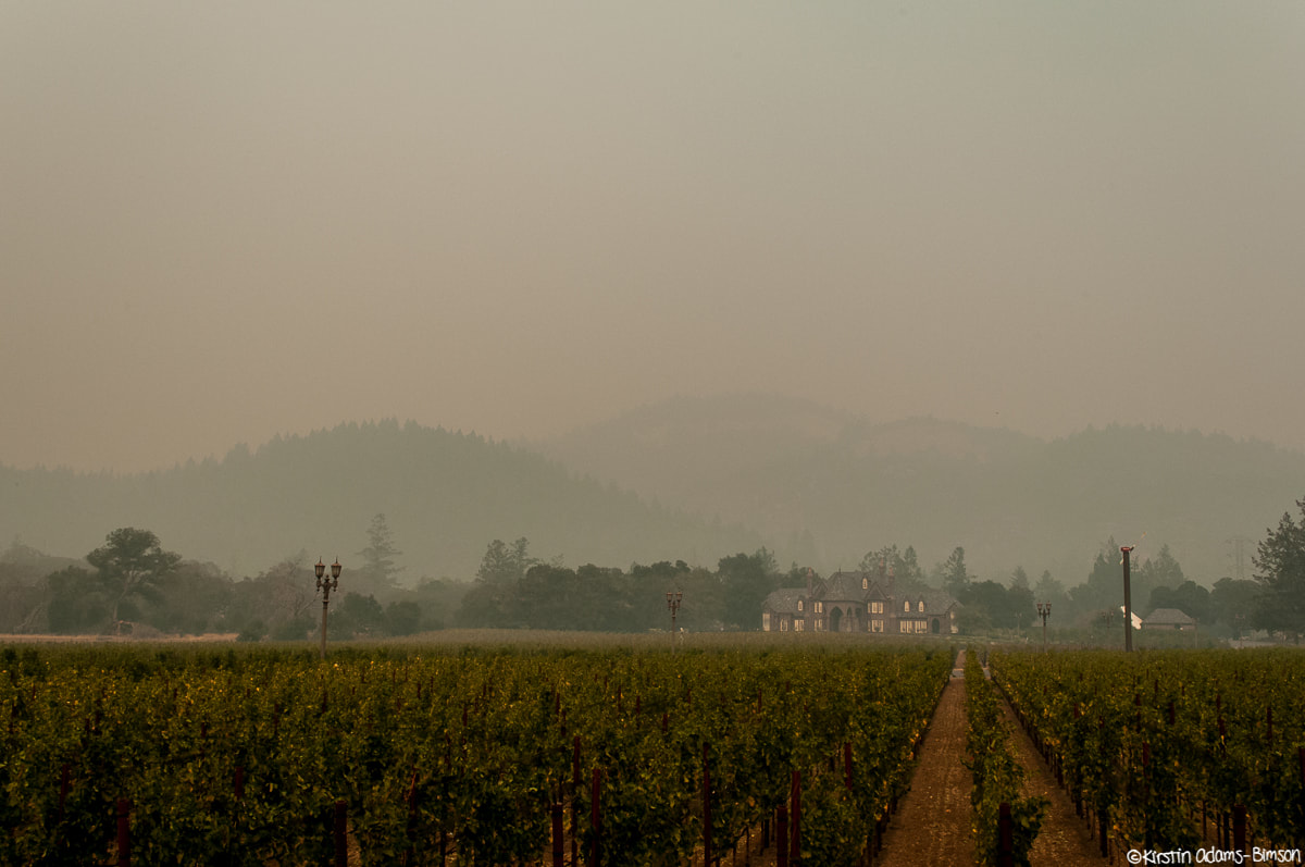
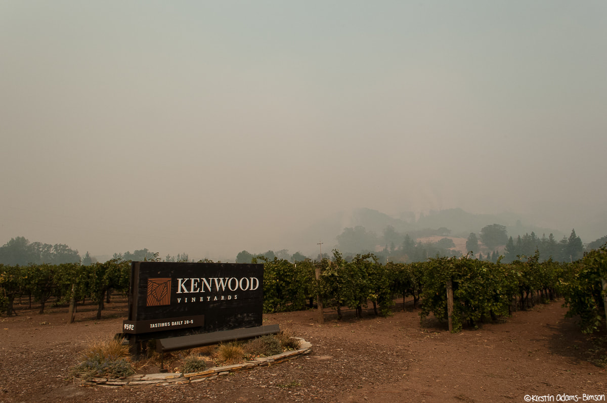
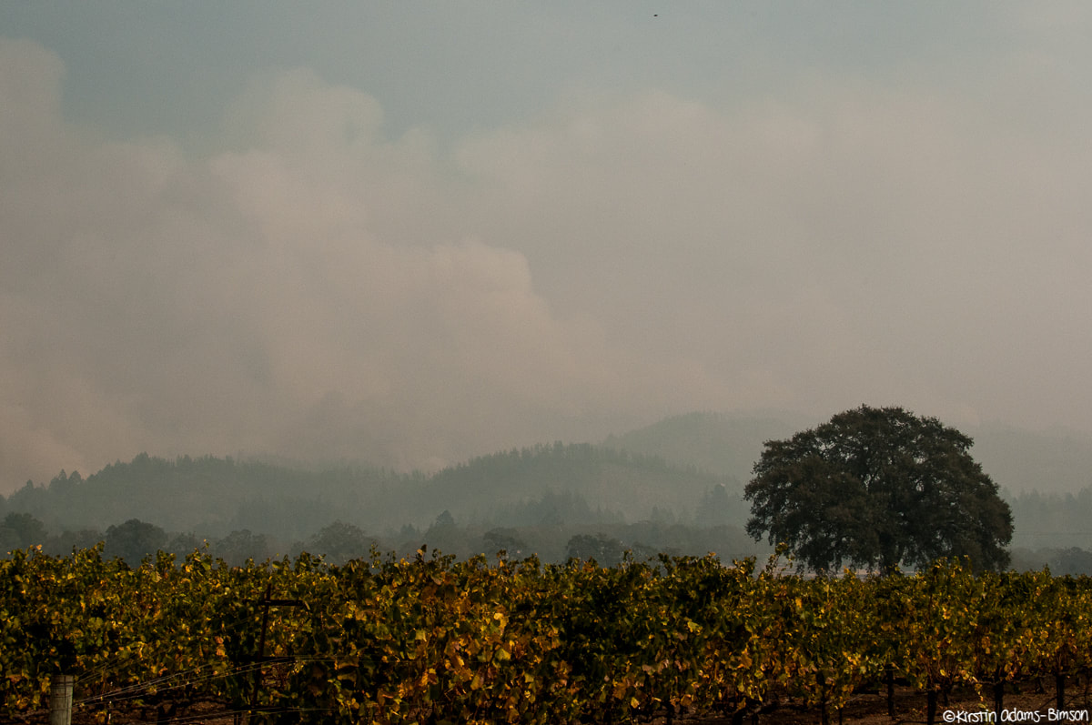
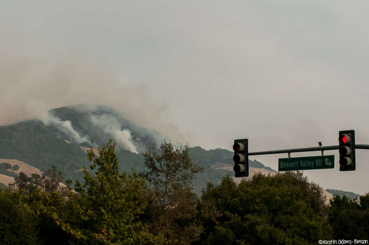
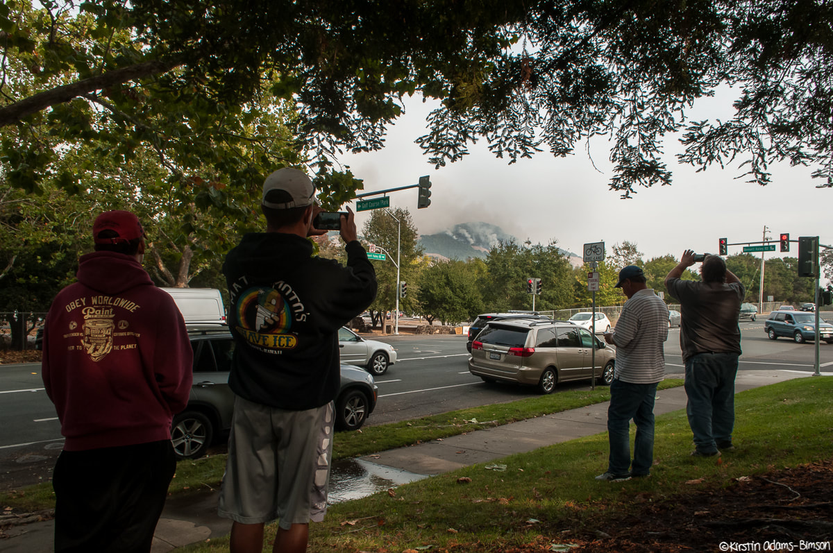
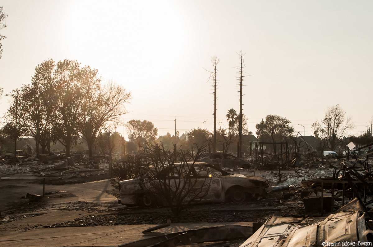
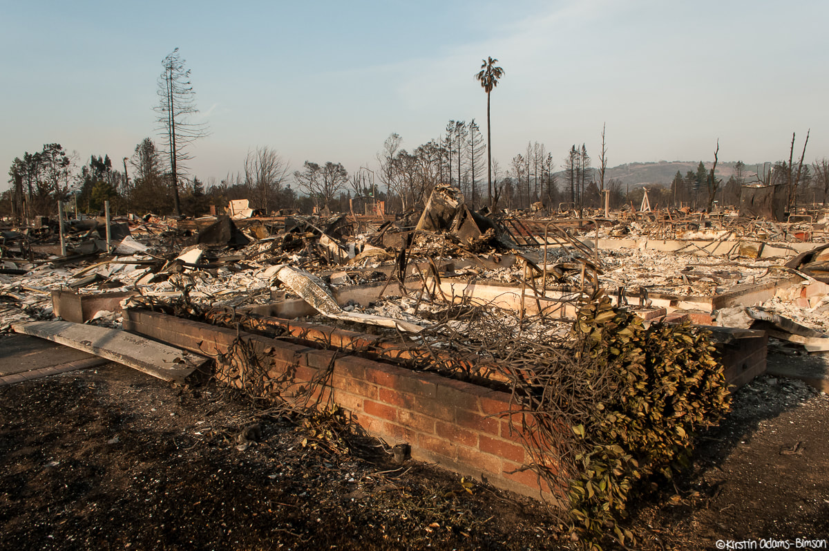
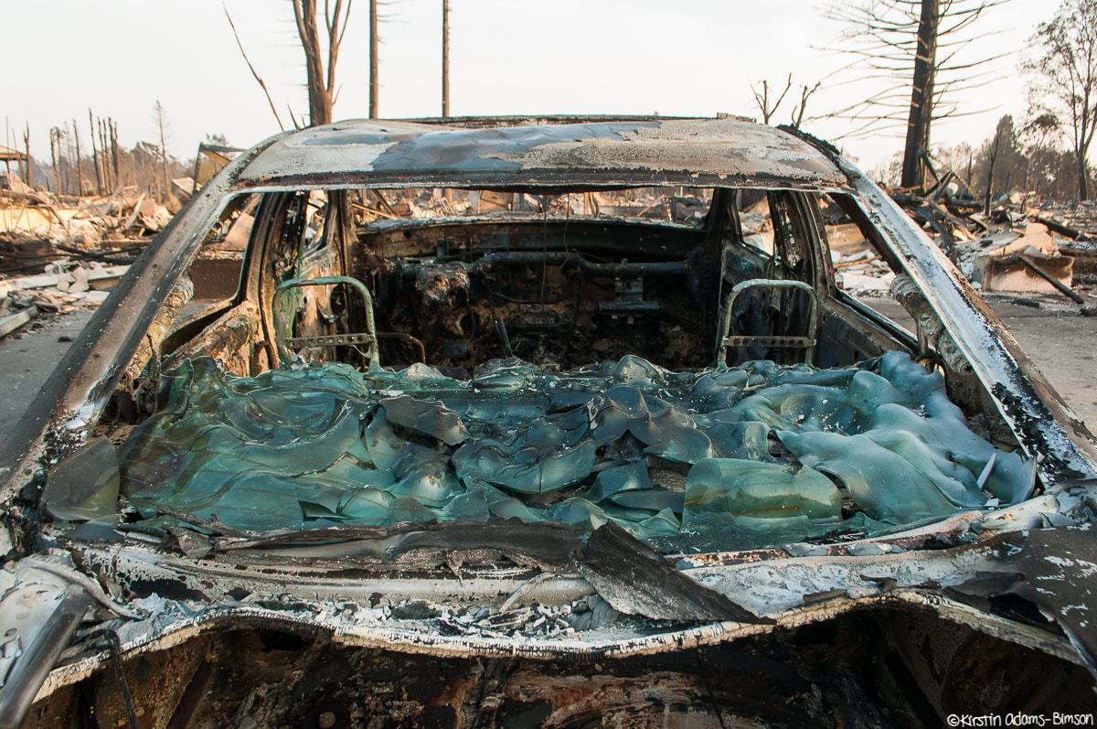
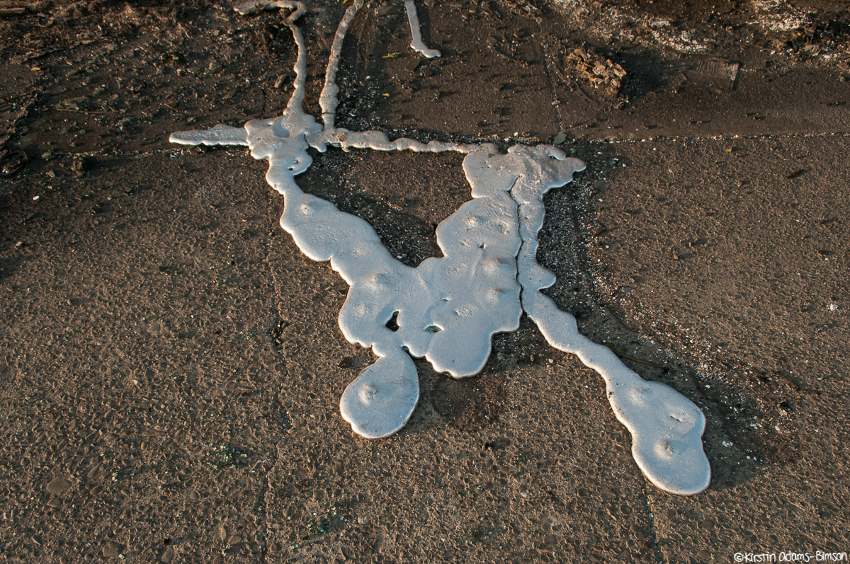
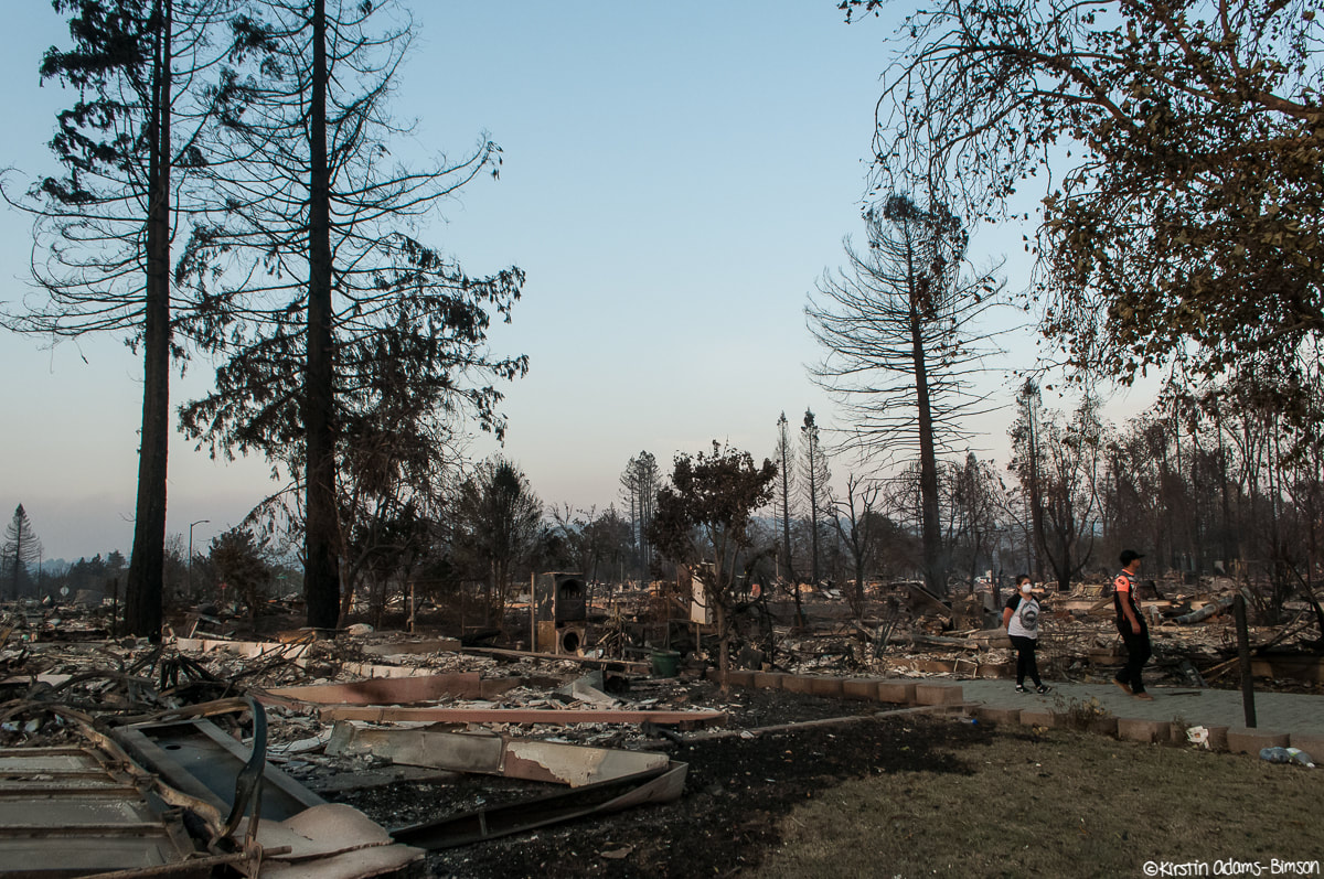
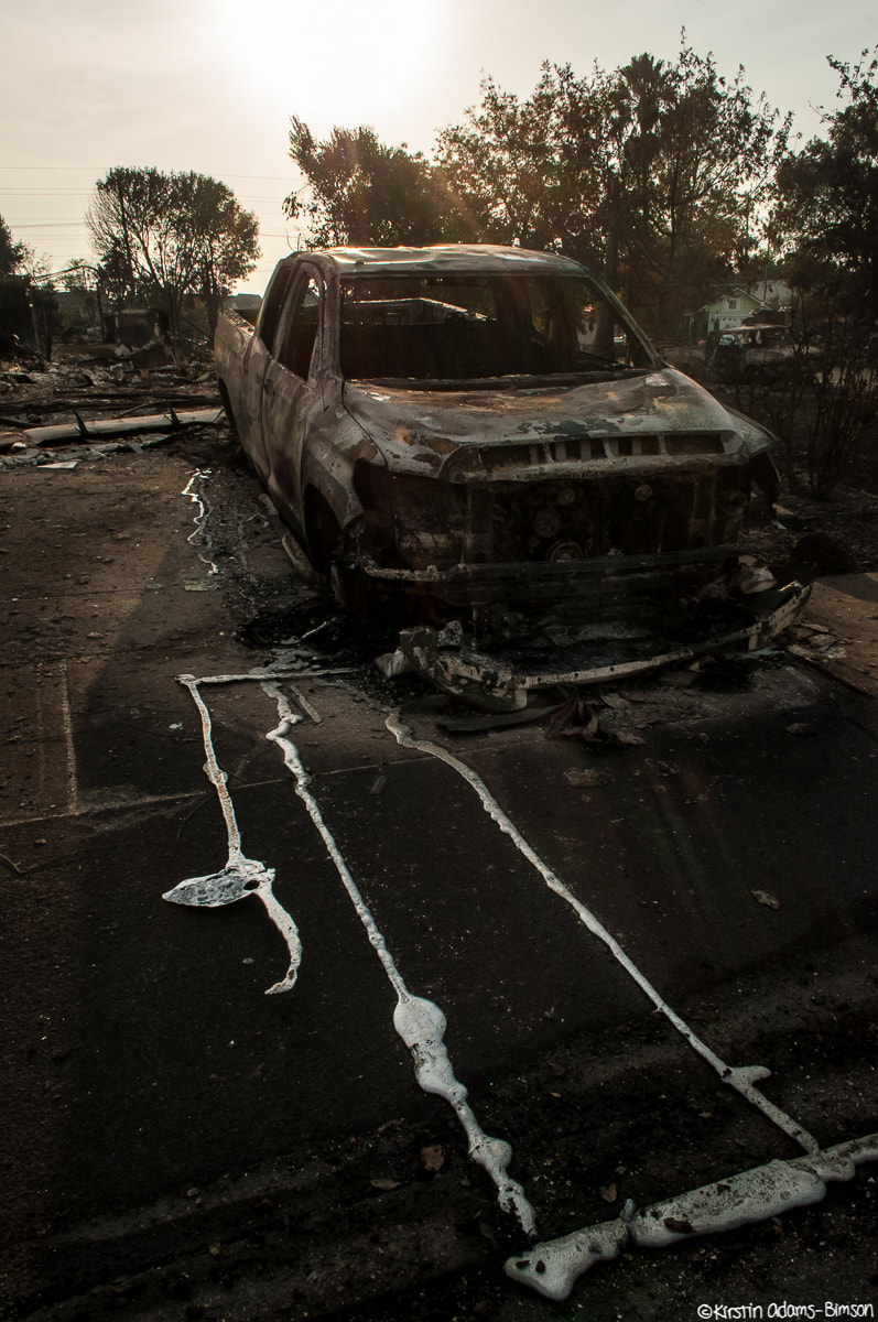
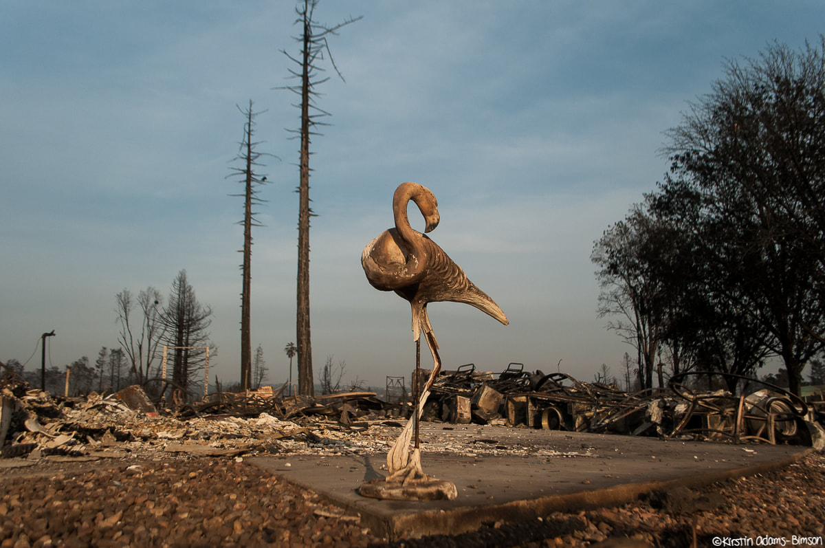
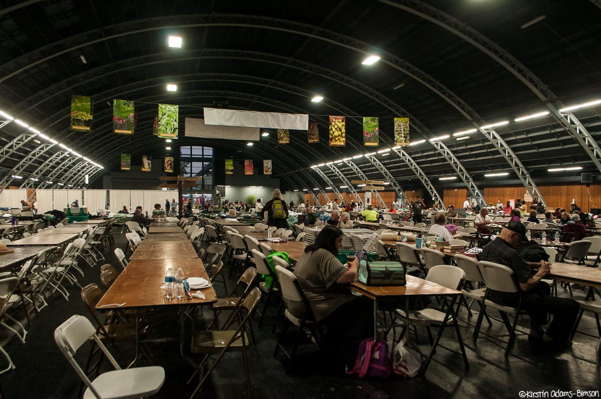
These ones are big. The Atlas fire (east and south of Napa, currently moving towards the outskirts of Fairfield), the Nuns fire (between Sonoma and Santa Rosa, eating up Annadel State Park), and the Patrick fire (not pictured here), have all been grouped into the Southern LNU Complex fire as they're burning simultaneously and starting to merge together. I also shot what remains of the Coffey Park neighborhood in Northern Santa Rosa, destroyed by the Tubbs Fire. These were taken between about 11am and 6pm. The early afternoon seemed a bit more controlled, but things started jumping around by late afternoon. Its a very fluid situation--a lot is happening quickly, some of it anticipated, some of it not. Road closures were constantly shifting all day as a result of fickle winds and rapidly changing conditions. By the time I headed home after sunset things were heating up again. The Atlas fire seems to be the most active if my drive through Fairfield and Vacaville was any indication. We're due for more dry, windy conditions tomorrow, so we shall see what the day brings. The view from Skyline Park in Napa. Smoke from the Atlas fire here was thick as mud, settling into the valleys between the hills. What remains of the Iconic Stornetta Dairy on Highway 12 isn't much. People pulled over frequently to stop, stare, and photograph. Major activity in the hills north of Highway 12 in the early afternoon; here, as seen through vineyards. Always a good thing to see: PG&E hard at work repairing power lines along highway 12, where many lines were downed by flames. Pockets of heavy smoke reduced visibility to a half mile in places along the highway, like this vineyard along highway 12. A lot of the prominent Highway 12 wineries are going to have some smoky grapes this year. To my knowledge, both of these have remained safe, despite backing up to the hills where there was prominent activity this afternoon. The Nuns fire started burning on the other side of the ridge, prompting evacuations in both the Oakmont and Bennet Valley neighborhoods. Shots taken at the start of the evac order, as officers drove up into the valley to knock on doors. This is the Coffey Park neighborhood in Northern Santa Rosa. Most have seen it as that aerial shot of a flattened neighborhood. This is it. The aerial photo is astounding in its own right, but even still it doesn't quite prepare you for how VAST this area is, when you're there on foot. As much as I tried I really don't think I did it justice. I was there around sunset, and with the extra yellow golden glow it really looked like a the fringes of a nuclear blast zone. Here we have the rear windshield of a blown-out car, shattered from the heat, then melted together on the rear of the vehicle (L/T). Then we have the melted metal refuse of a blown-out car--not the same one--which pooled on the sidewalk in the heat of the fire (R/B). People were just starting to come back through the neighborhood in the evening to dig through rubble and assess damage (as these two were). Detail shots of the damage in Coffey Park. Its eerie how certain things that survive--like this flamingo statue--speak so strongly of the life that was once there, and yet still you're forced to face the reality of the level of destruction by virtue of what surrounds you. It's uncanny. As Curfew nears, evacuees gather in the Sonoma County Fairgrounds, which has been transformed into an evacuation shelter by the Red Cross. Bit jarring to see it juxtaposed with fair banners. If you are a news agency and would be interested in using any of these photos, please contact me, or visit my editorial gallery.
0 Comments
|
Categories
All
Archives
March 2024
|

 RSS Feed