|
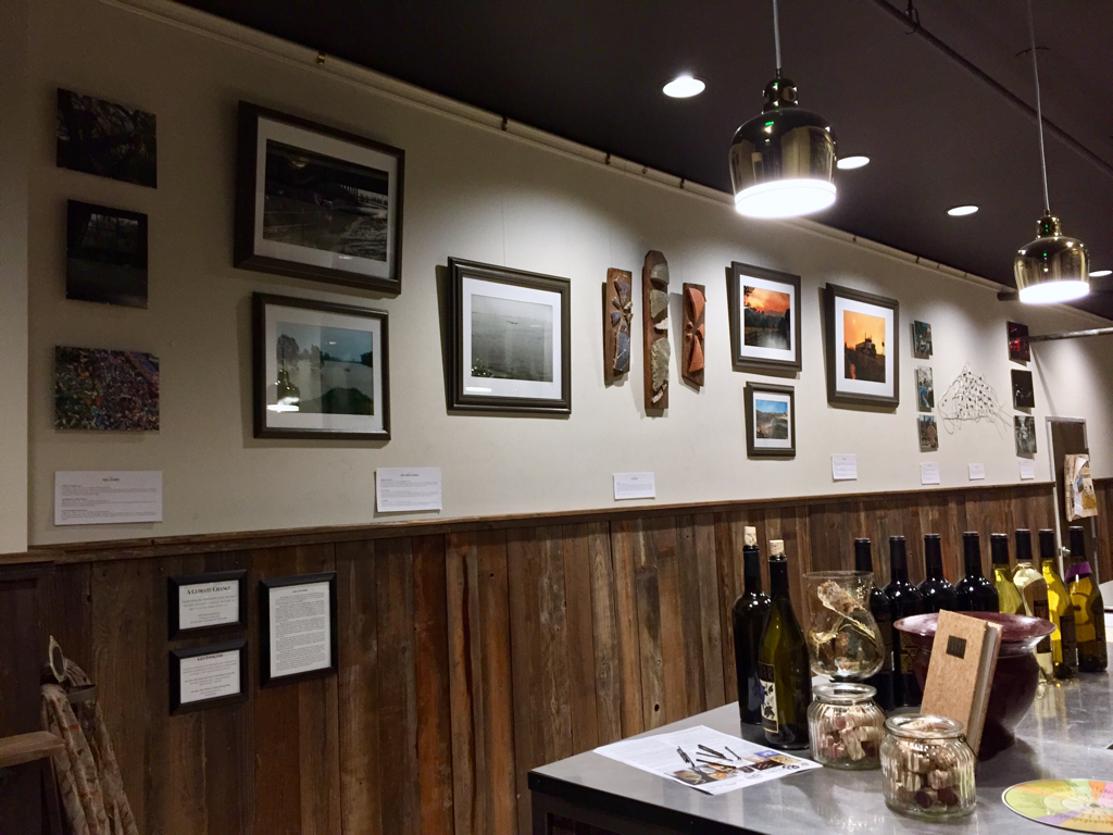
My newest exhibit, "A Climate Change" explord the effect of climate change on the planet as well as on the climate of daily life. It's now up at the Putah Creek Winery tasting room in downtown Davis and will be up through May 8th! If you didn't get a chance to see it at the opening night reception, make sure to swing by. A self-guided tour booklet is available by the entrance. Putah Creek Winery downtown tasting room
110 F Street, between F street market and T-Mobile Davis, CA 95616 Hours: Mon-Tues: 4:00-7:00pm Wed-Sun: 12:00-7:00pm
0 Comments
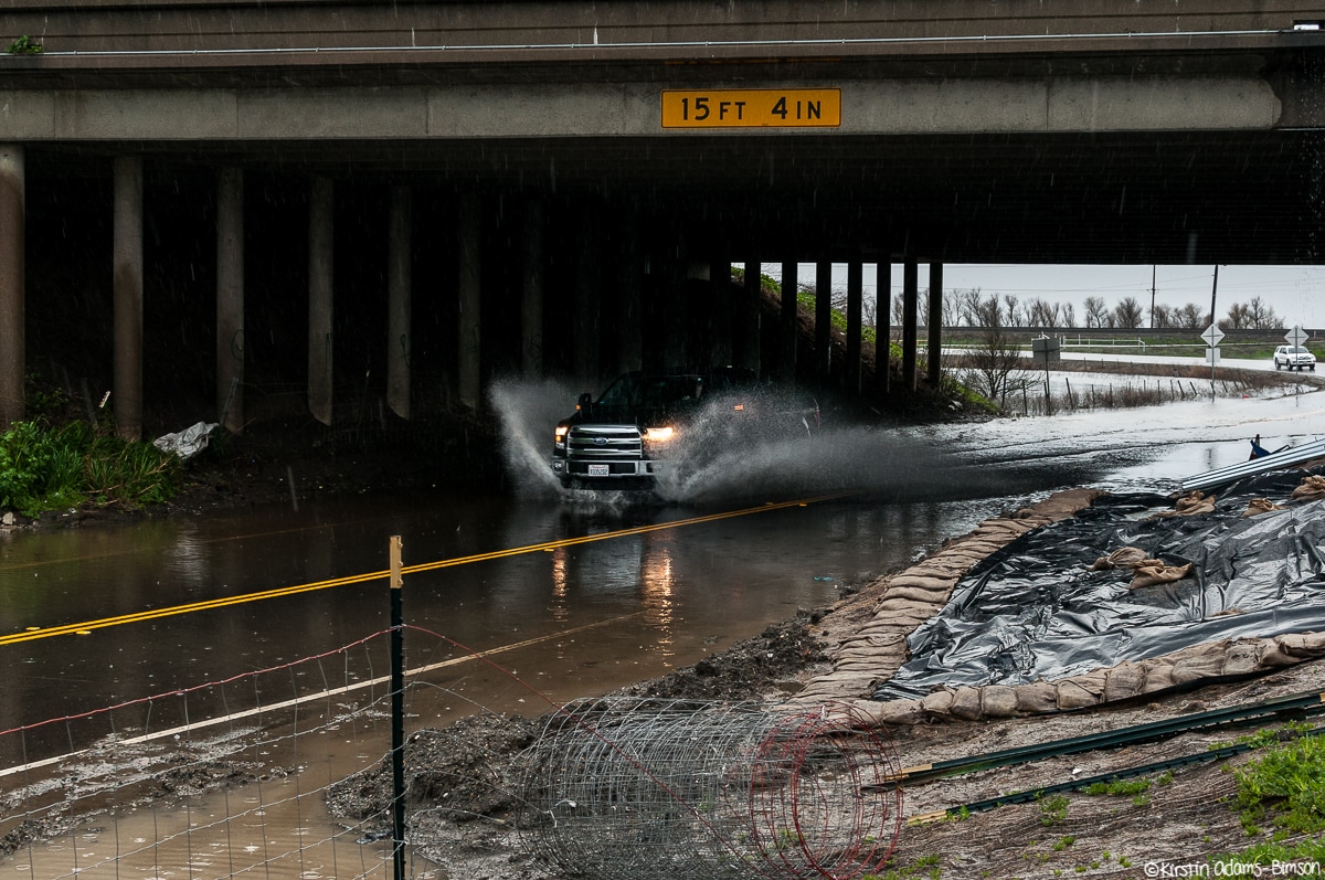
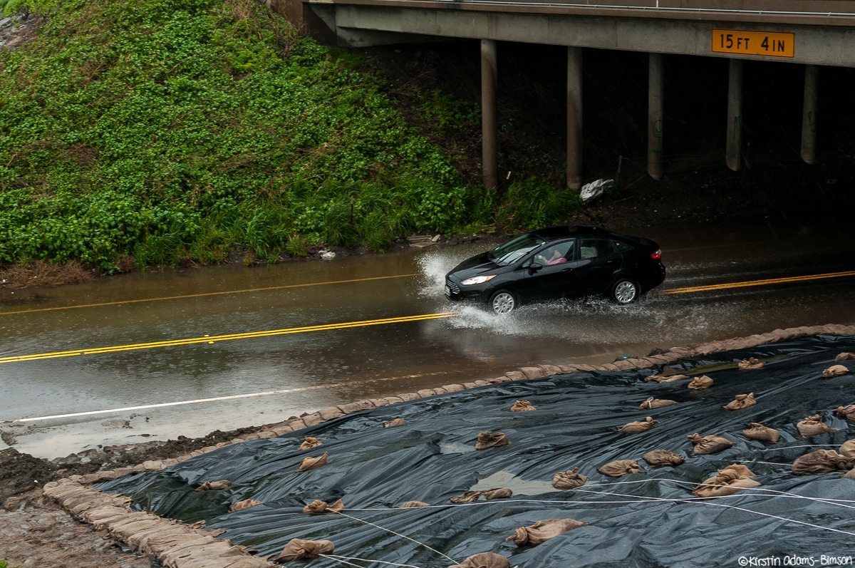
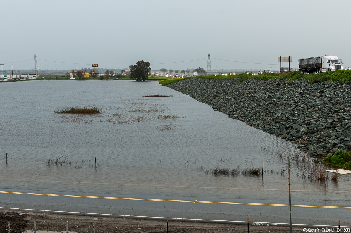
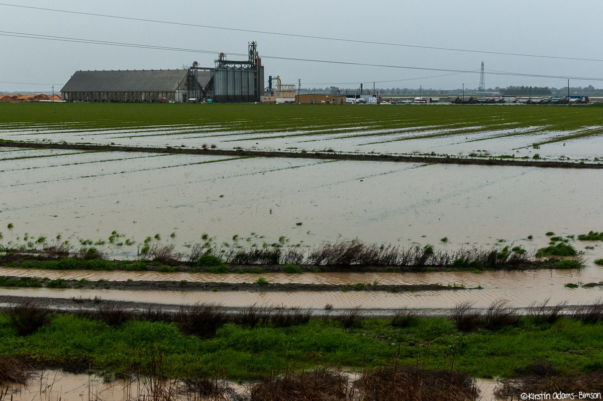
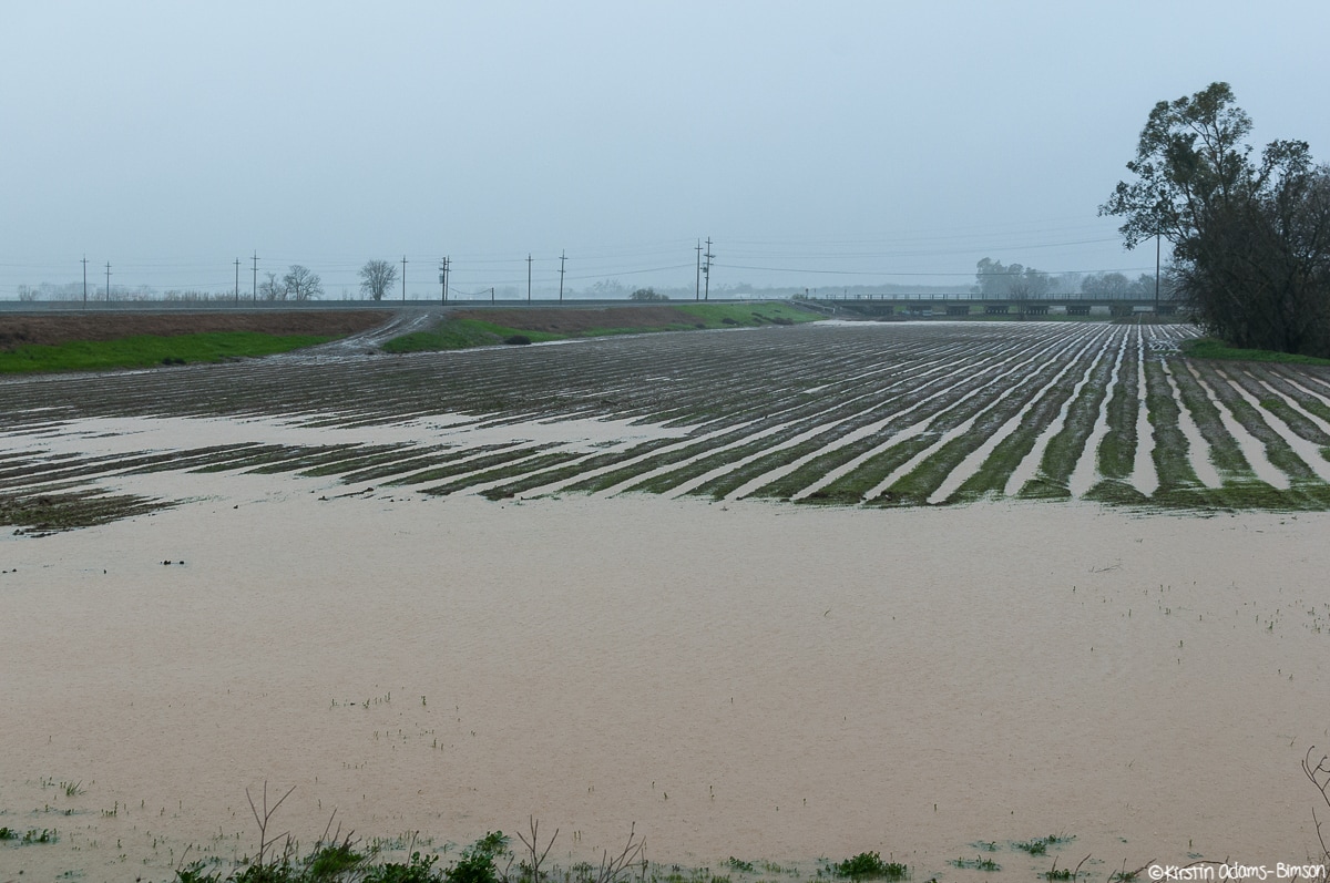
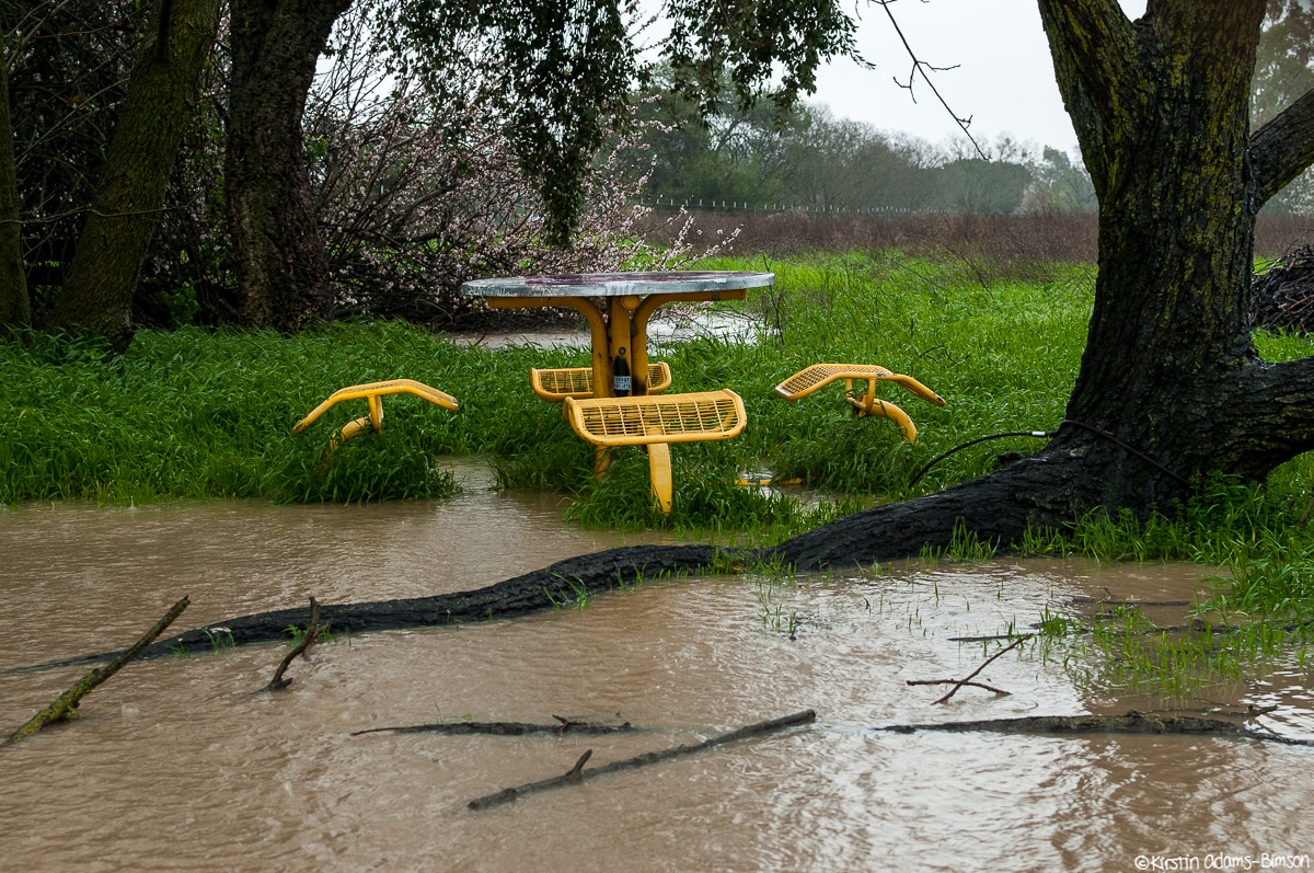
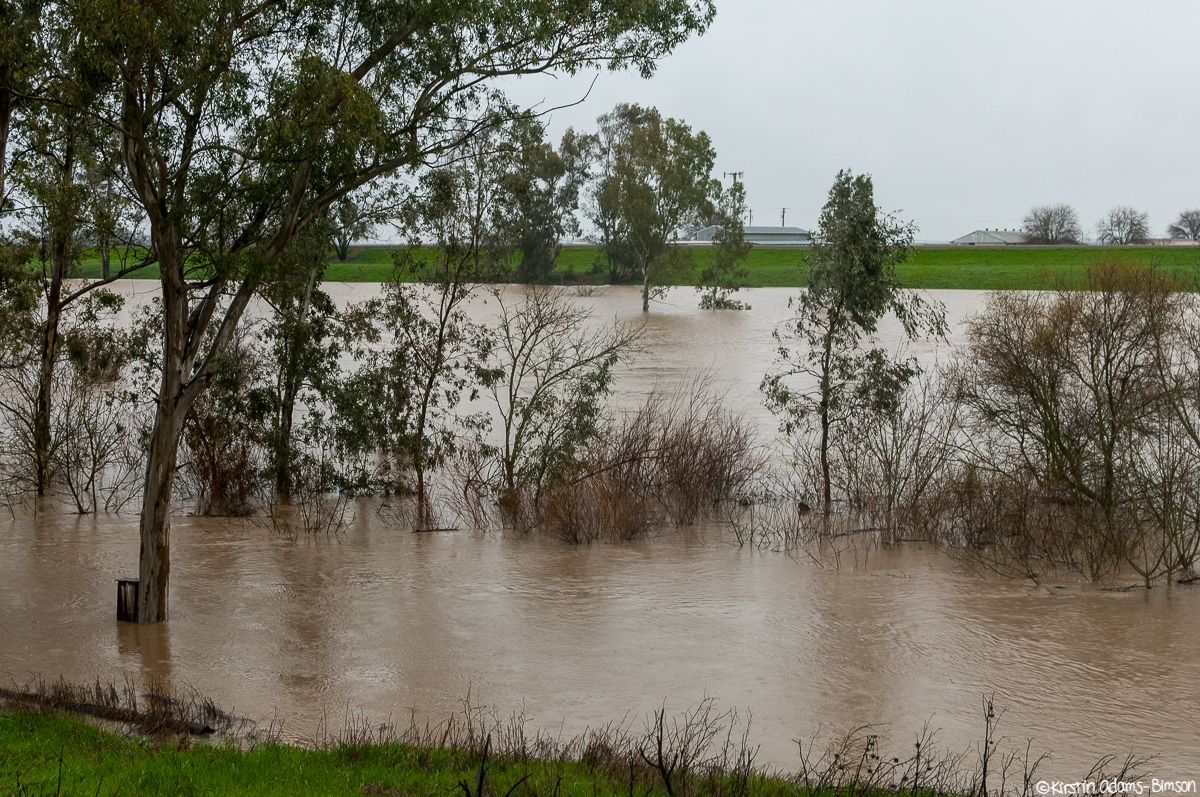
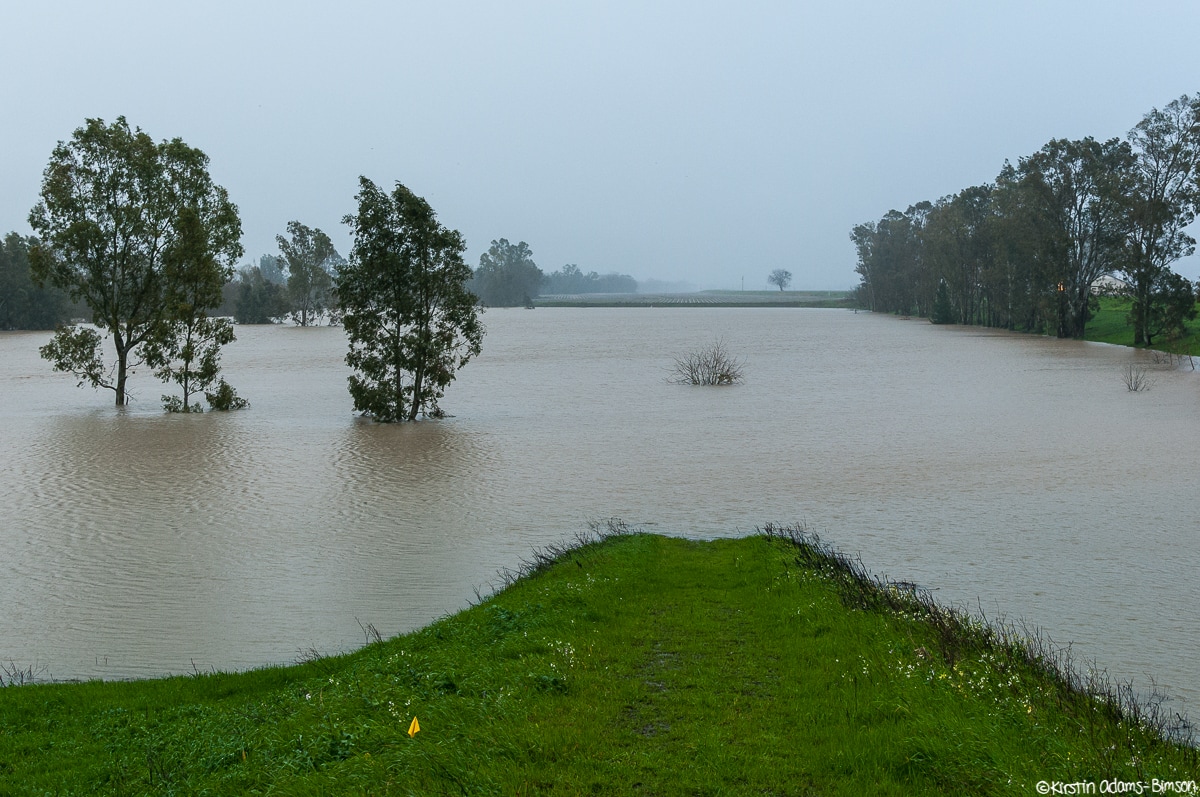
This afternoon I put a rain jacket on my camera (and myself), and headed out to photograph some of the intense flooding around Davis as a result of yet another intense atmospheric river event. Really I barely scratched the surface and am hoping to have time tomorrow to head out again. Chiles Road at the I-80 underpass near the Yolo Bypass floods under a deluge of rain from an atmospheric river. A portion of the hillside, at right, was covered prior to the onset of the latest storm due to landslide risks. Chiles Road at I-80 near the Yolo Bypass floods under a deluge of rain from an atmospheric river. Agriculture fields flood near the Yolo Bypass under a deluge of rain from an atmospheric river. Water pools in a field south of Putah Creek off Old Davis Road under a deluge of rain from an atmospheric river. A picnic bench on the upper banks of Putah Creek at Old Davis Road sits in a pool of water as a deluge of rain from an atmospheric river floods rural areas. Putah Creek at Old Davis Road floods under a deluge of rain from an atmospheric river.
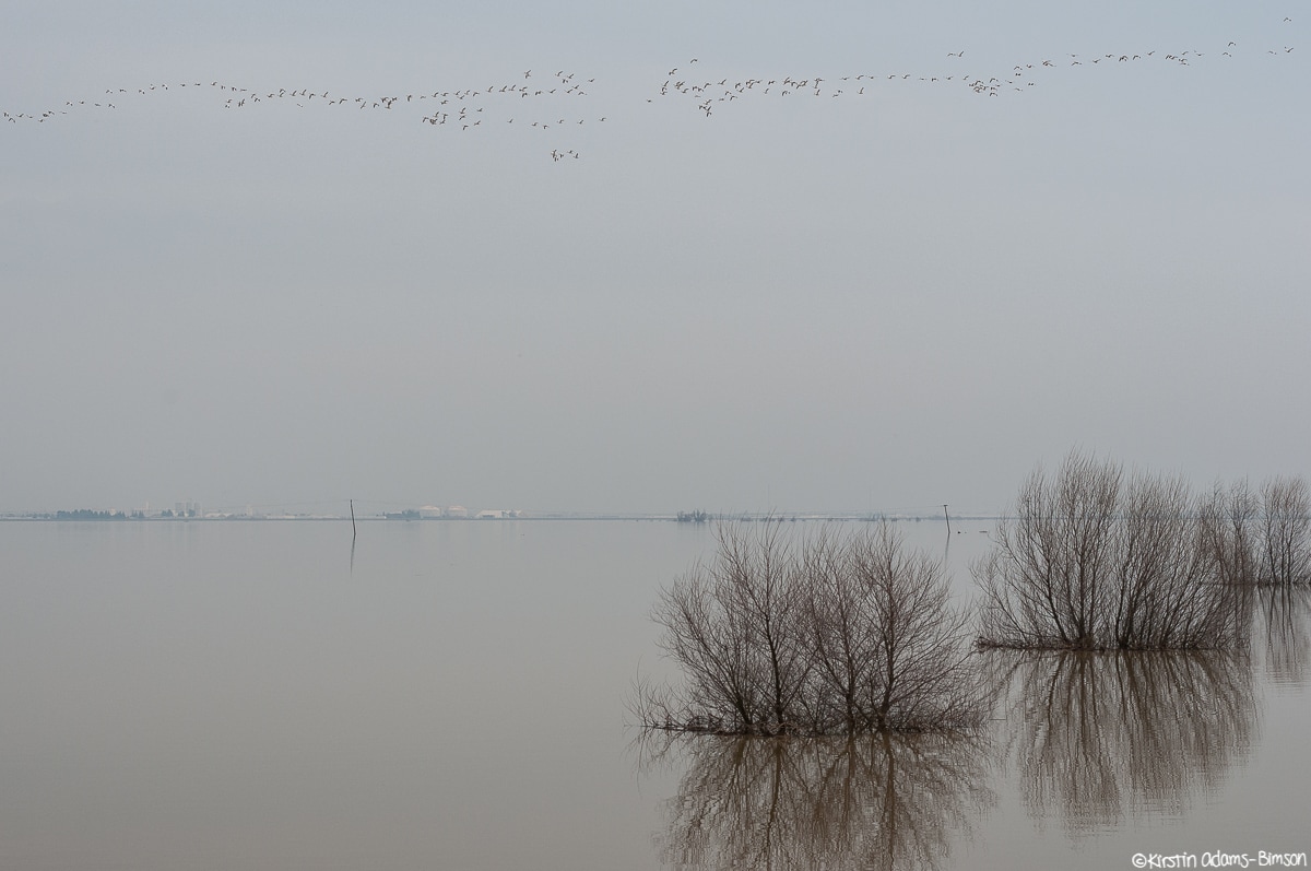
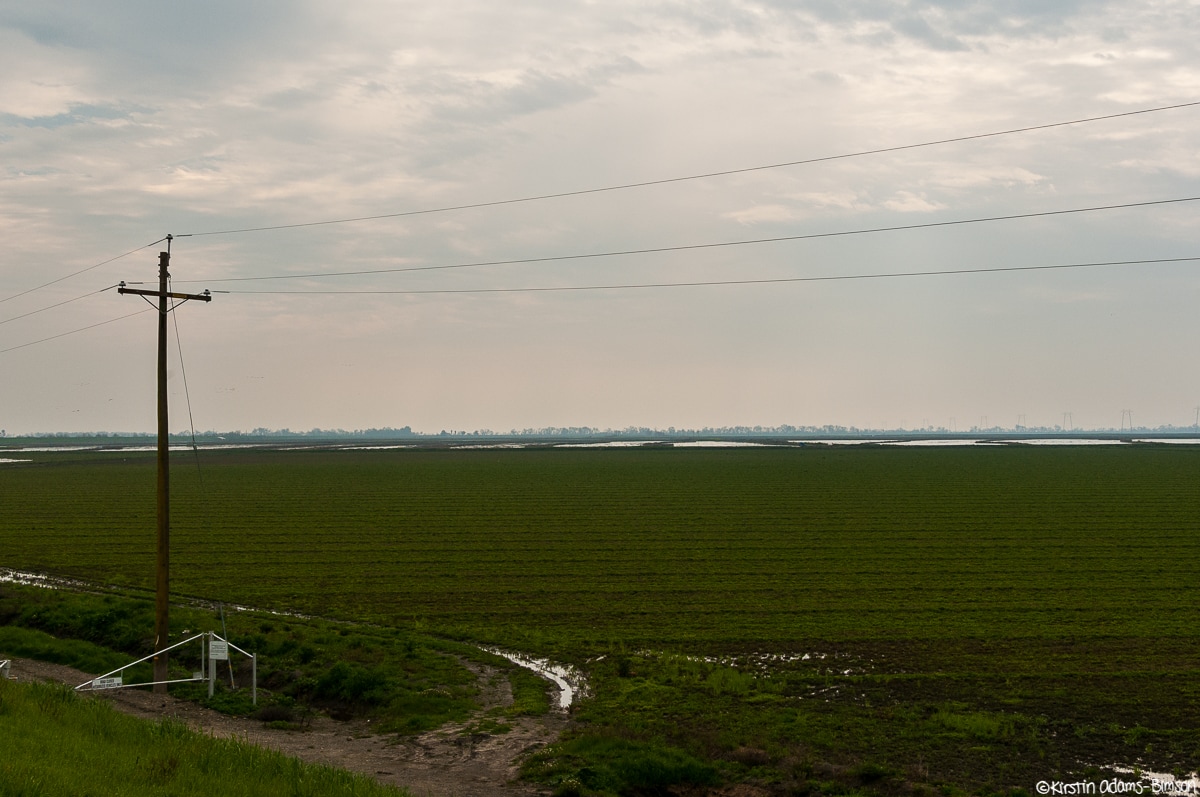
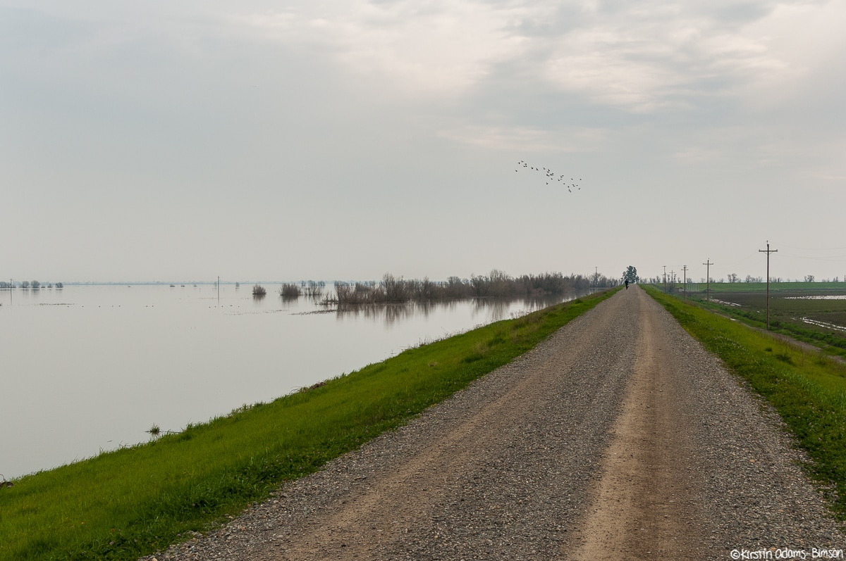
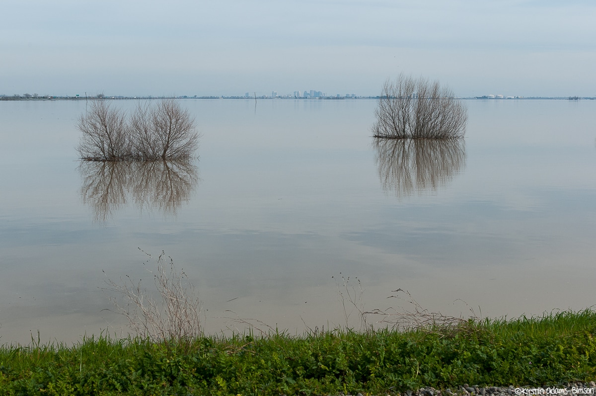
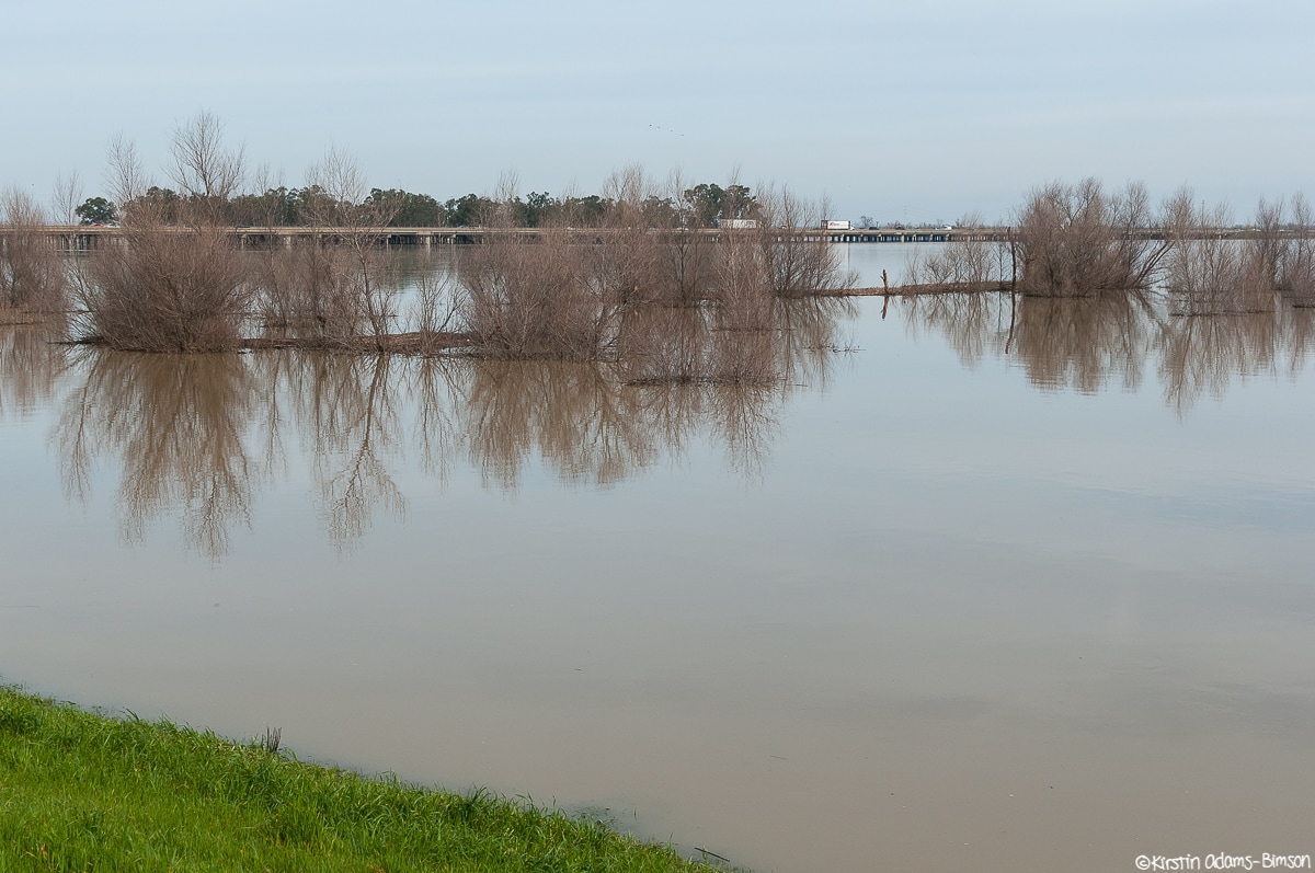
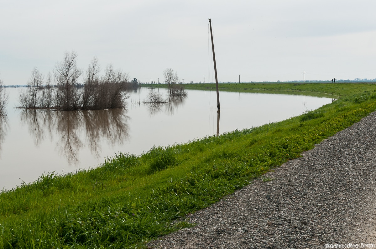
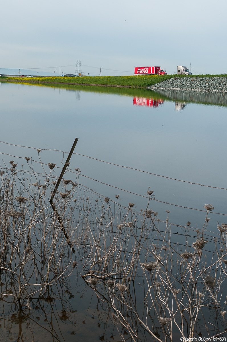
This last Wednesday I popped over to the Yolo Bypass to get some more shots before the next storm systems moved in. I don't think I was the only one with this idea since its was busy with foot traffic and active wildlife; got some beautiful shots though. It's so peaceful when the water is still.
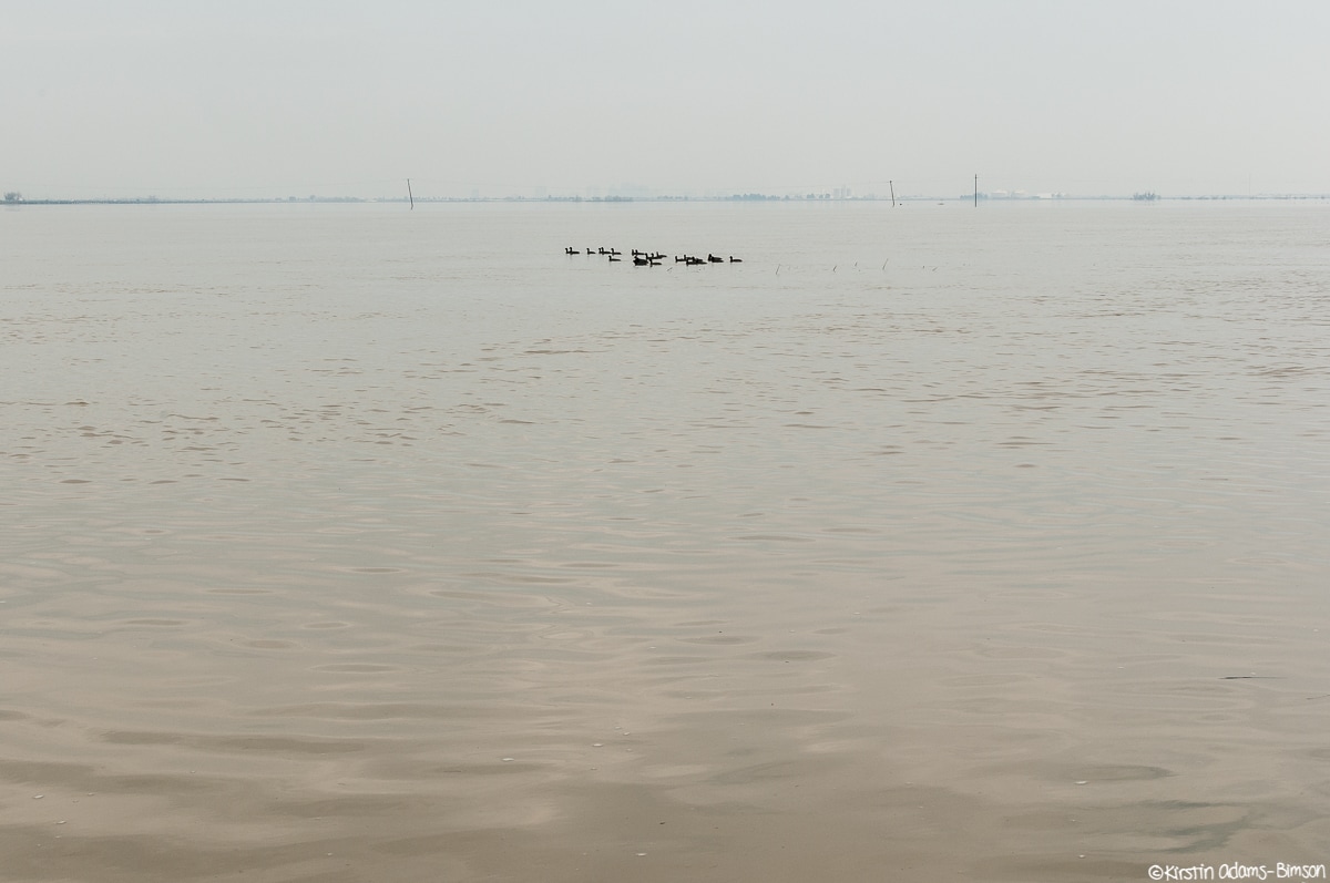
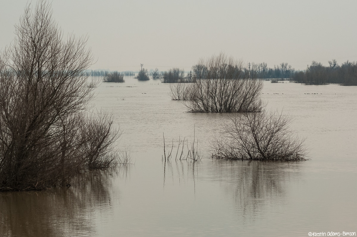
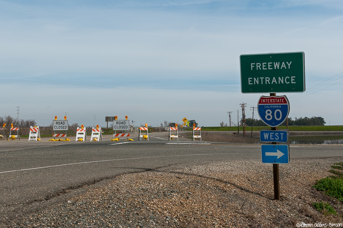
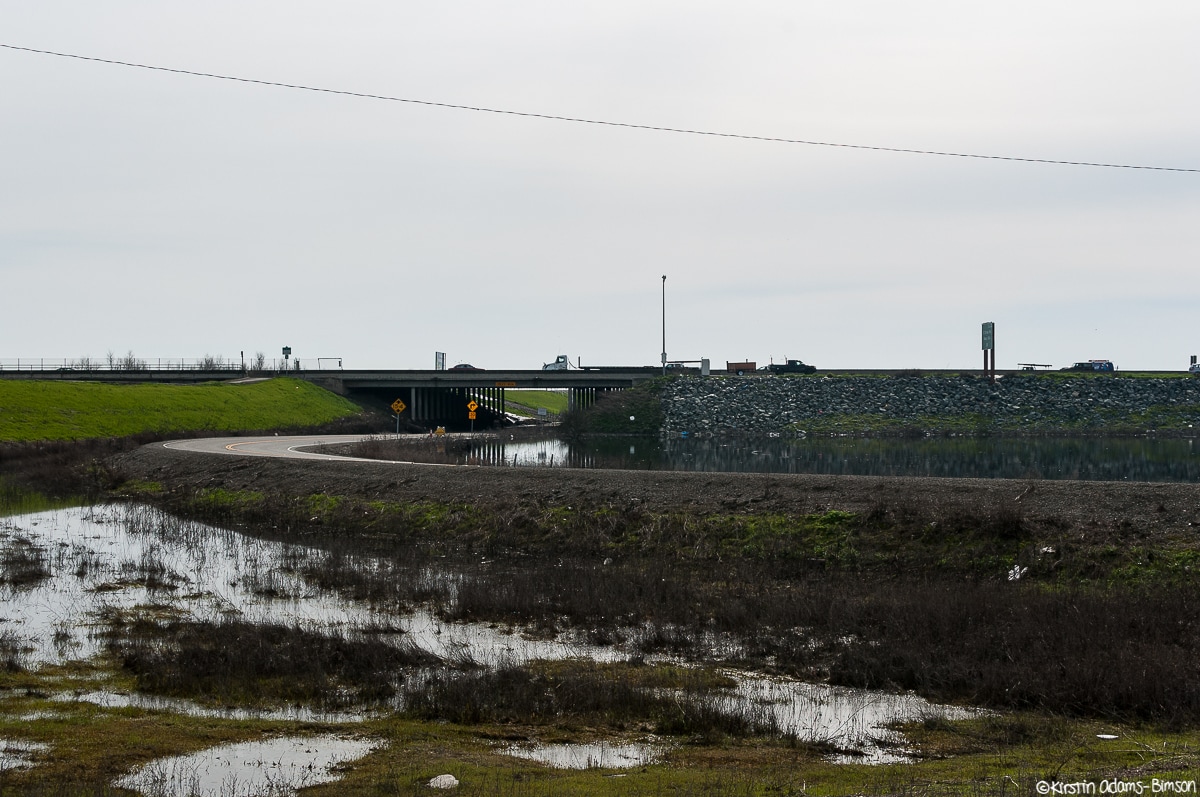
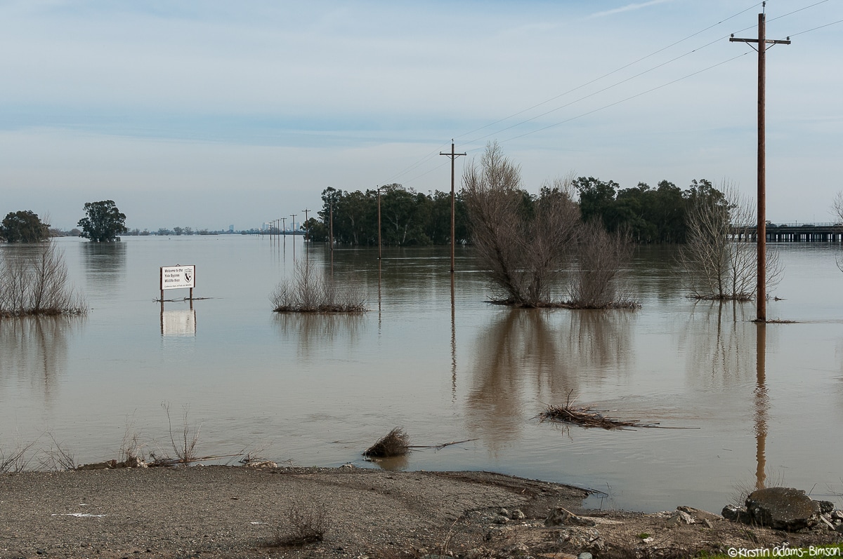
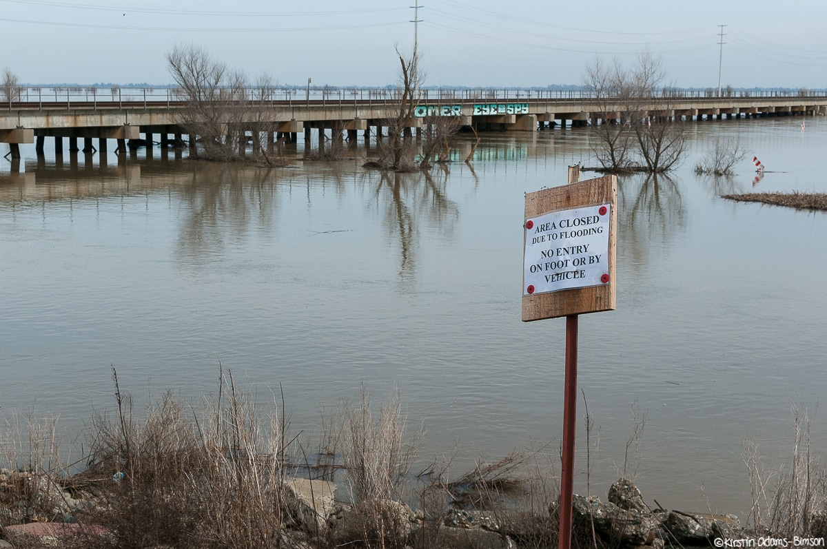
Taking advantage of the brief reprieve between storms today, I ran down to the Yolo Bypass to photograph the flooding from the recent opening of the Sacramento Weir in January and February in response to high river levels. The weir gates have been opened multiple times this year, the last time before now being in 2006. It was an impressive sight, almost 60,000 acres of floodplain submerged in fairly fast-moving water. Haven't seen it look like this since I was a kid. West Sacramento and the Pocket are visible in the distance reflecting in the water, from the western Levee of the bypass. If you are a news agency or media outlet and would be interested in using any of these photos, please contact me, or visit my editorial gallery.
|
Categories
All
Archives
March 2024
|

 RSS Feed